現代測量學
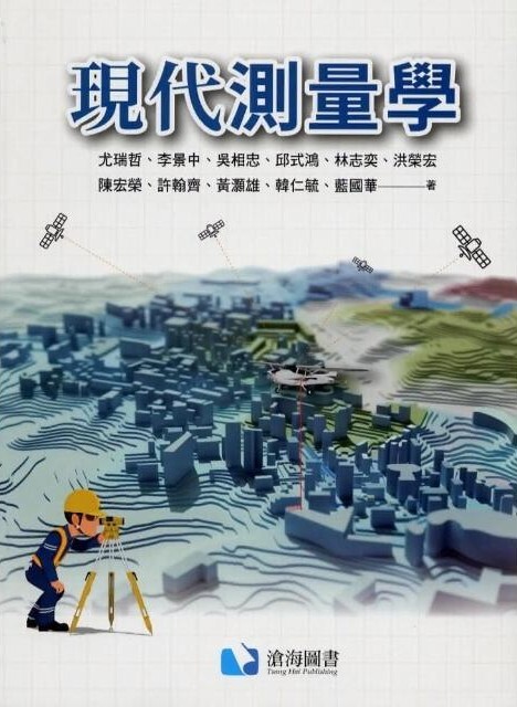 |
現代測量學 尤瑞哲 教授 與 洪榮宏 教授 國立成功大學測量及空間資訊學系 滄海圖書 2024 ISBN 978-626-98555-7-5 |
|
摘要 測量學是一門古老的科學。三、四千年之前,人類已經進行天文測量和土地測量。由於測量工具、方法和技術隨著時代的進步與發展,從傳統的地面測量發展到運用太空科技進行測量,也引進了資訊科學的技術,測量學及技術有了長足的發展及應用逐漸擴展成為今天的地球空間資訊學主要包含三大領域:大地測量學、空間資訊測繪學和地理資訊科學,這三大學術及技術領域簡稱為3G。這三個領域主要係建立在數學、統計學、物理學、計算機科學,地球物理學、甚或天文學等基礎科學上,並發展建立空間資訊數據的計算基準、採集或蒐集、處理、管理與應用、資料流通與共享等專門學術與技術。現今地球空間資訊學的發展上,這三個領域之間有著高度的相互關連性。
本書為地球空間資訊學的基本入門書籍,並不侷限於平面測量,也論及新的 3D 測量學理及技術,主要內容分為四大部分:第一部分主要包含大地基準與坐標系統、測量誤差及最小二乘法等基礎內容。第二部分闡述傳統測量學的角度測量、邊長測量和高程測量等三類基本測量學理及技術。第三部分論及新的測量技術及其基本知識,包含全球衛星定位測量、航遙測(含無人機測量) 與光達測量,以及地理資訊系統。第四部分為應用測量課題。 |
|
|
You, Rey-Jer & Hong, Jung-Hong Abstract Surveying is an ancient science and technology. Three or four thousand years ago, humans have already conducted astronomical and land surveys. Nowadays, in additional to traditional ground measurements, space technologies and also information science have been introduced and used in Surveying. Surveying has gradually expanded to the so-called Geospatial Information, which mainly includes three fields: Geodesy, Geomatics and Geographic Information Science (3G). 3G is mainly based on mathematics, statistics, physics, computer science, geophysics, and even astronomy, and has been developed and applied to specialized academic and technical fields such as reference datums, collection, processing, management, application circulation and sharing of spatial information data etc.
This book is a basic introduction to Geospatial Informatics. It is not limited to plane measurement, but also discusses new 3D measurement theories and technologies. The main content is divided into four parts: first, geodetic datums and coordinate systems, measurement errors and least squares method. The second part explains three basic measurement theories and techniques in traditional surveying, namely angle measurements, distance measurements and height measurements. The third part discusses new surveying technologies and their basic knowledge, including global navigation satellite system (GNSS), photogrammetry, remote sensing and lidar surveying, as well as geographic information systems. The fourth part is about application measurement topics. |
|
